The Caribbean islands may share similar coastline imagery, but their geology, culture, and terrain can differ considerably between neighboring territories. Choosing between these destinations requires looking beyond the beaches and examining distinct topographies, elevation shifts, and marine ecosystems.
Priorities also shape where it makes sense to anchor or land, from diving deep marine trenches to trekking volcanic terrain or photographing distinctive geological formations. Each island presents its own terrain, ecosystems, and logistical realities that suit different travel styles.
Swapping one location for another can change the character of a trip entirely. Here is how five distinct islands compare when evaluating their physical landscape and primary attractions.
Turks and Caicos: A Coastline With No High-Rises in Sight
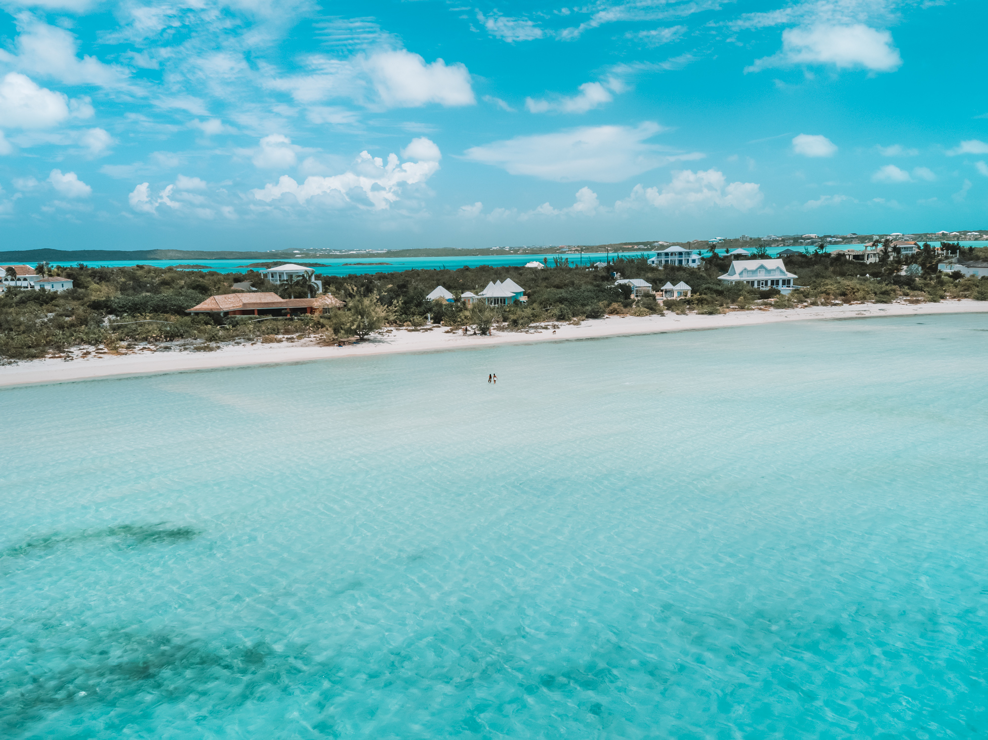
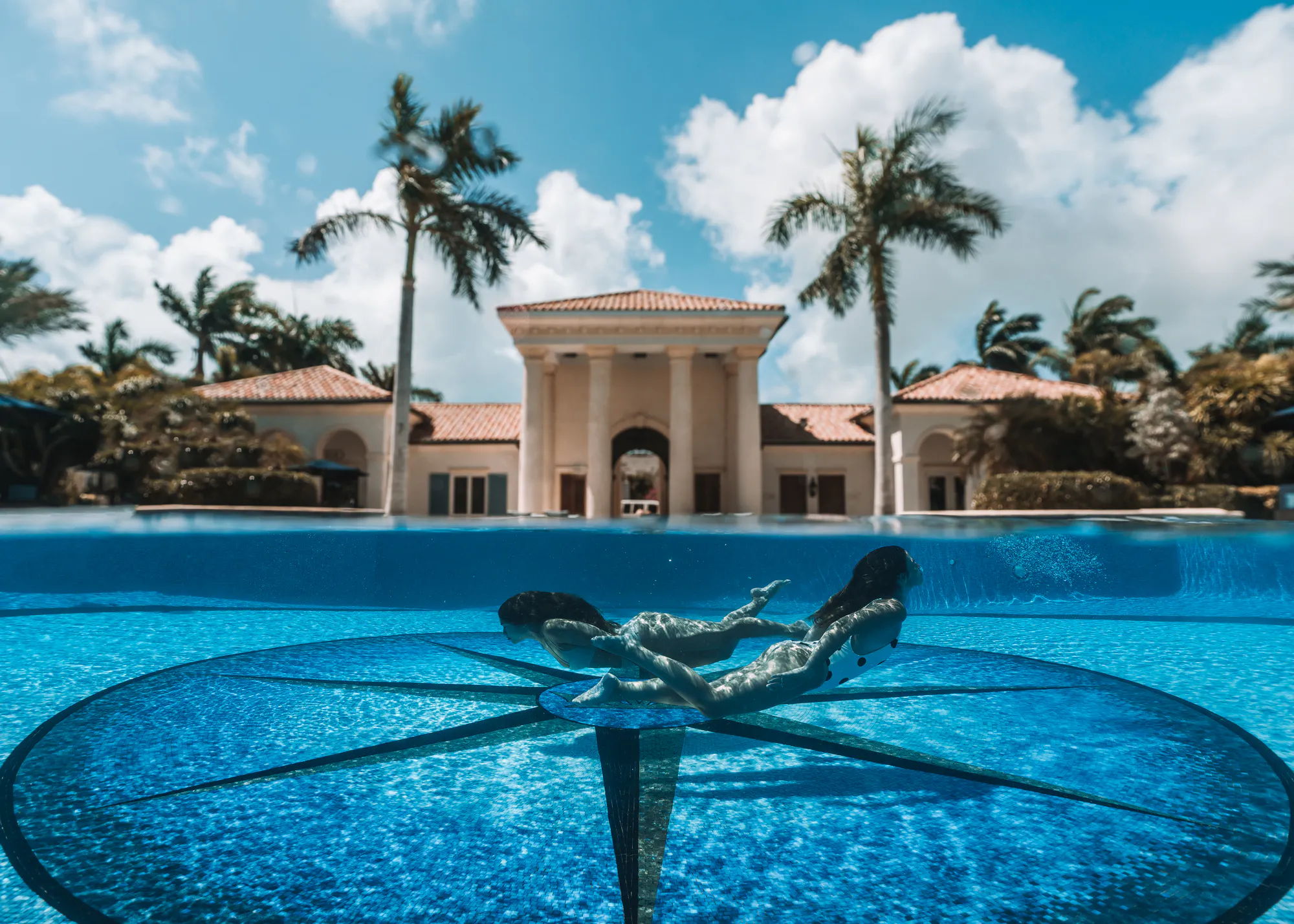
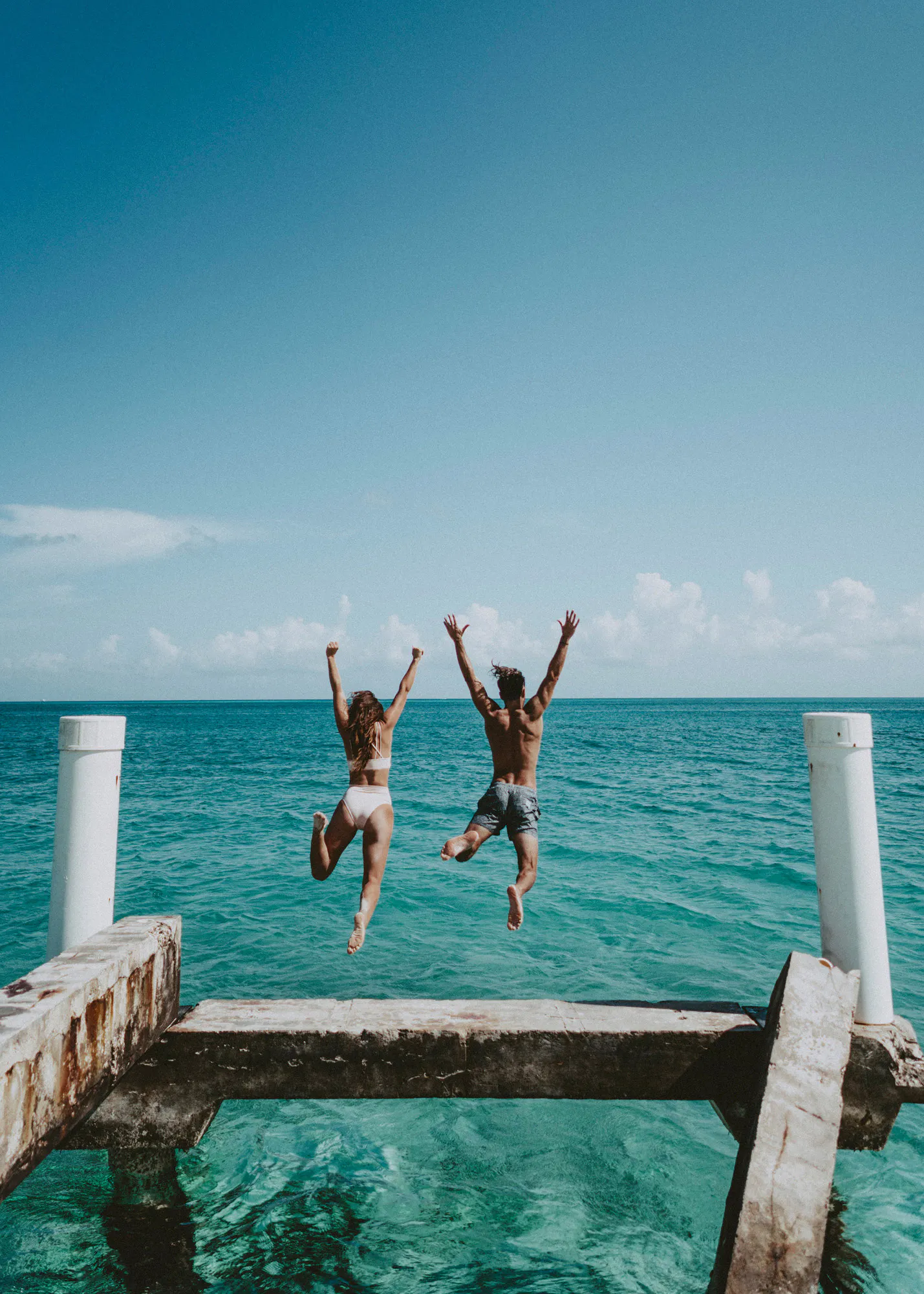
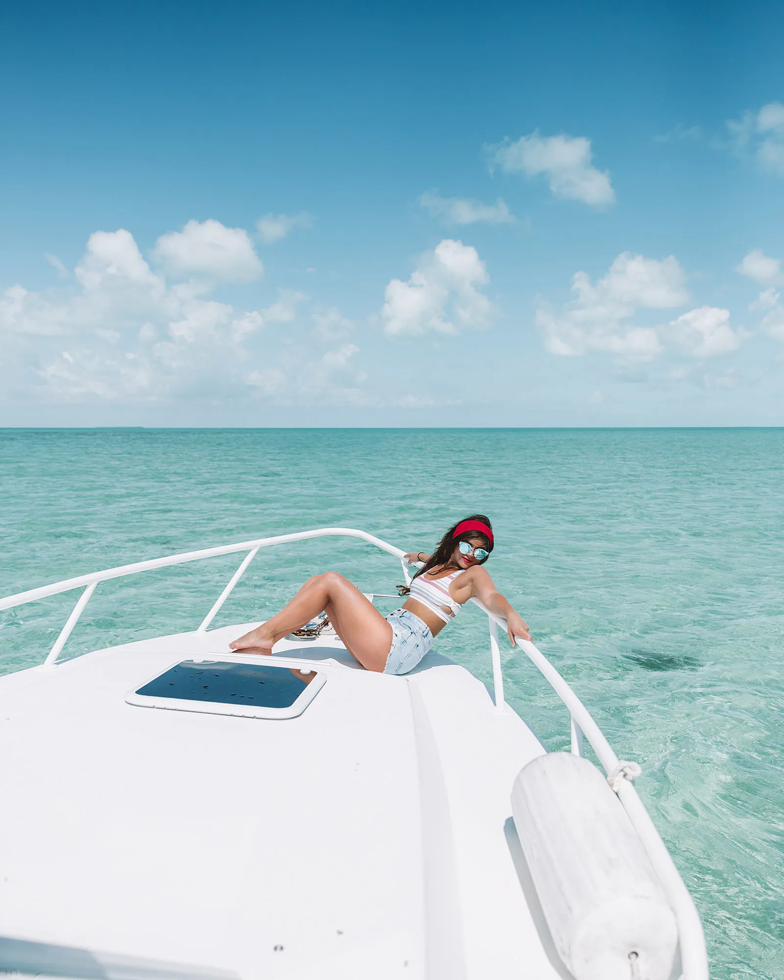
The Turks and Caicos archipelago sits on extensive underwater plateaus separated by the Turks Island Passage, a rift that reaches more than 7,000 feet deep. Providenciales reflects that low-lying landscape, with scrubland, shallow tidal flats, and little elevation across much of the island. Development along Grace Bay includes resorts, villas, and residential properties, while planning regulations control how coastal areas are developed.
Approximately 340 miles of barrier reef surround the Turks and Caicos, with underwater visibility at some dive sites exceeding 100 feet. The deep Turks Island Passage near Salt Cay and South Caicos also lies along the seasonal route of humpback whales, which pass through these waters from roughly January to April.
Providenciales also has residential coastal areas away from the main resort strip. Sought-after Turks and Caicos villas can be found around places such as Taylor Bay and Turtle Tail, where travelers can stay close to sheltered coves and coastal waters without relying on a large resort setting.
Dominica: A Lake That Boils in the Rainforest
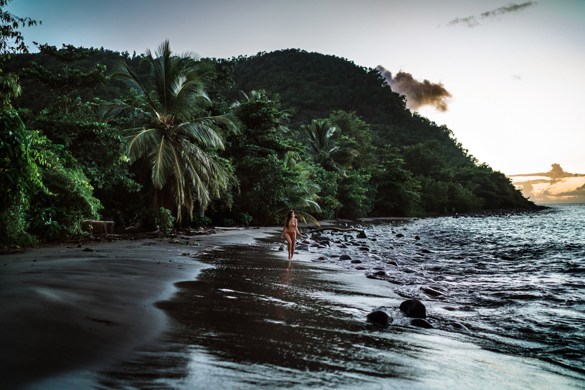
Dominica has nine potentially active volcanic centers, giving it one of the highest concentrations of potentially active volcanoes in the world. The island's interior consists of dense, high-elevation rainforest rising to 4,747 feet at Morne Diablotins. Its rugged volcanic terrain extends from steep mountain slopes and deeply cut valleys to sections of dark volcanic coastline.
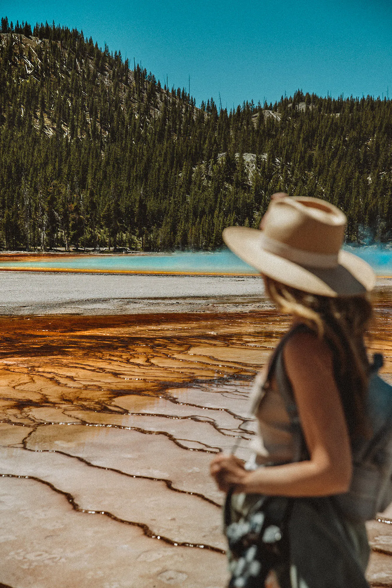
The central mountain region inside Morne Trois Pitons National Park contains the Boiling Lake, a flooded fumarole measuring roughly 200 feet across. Reaching this geothermal feature requires a demanding eight-mile round-trip trek through the Valley of Desolation, passing sulfur vents, steaming mud pools, and exposed volcanic terrain. A certified local guide is required for the hike.
Water temperatures around the edge of the lake can reach 197 degrees Fahrenheit (92 degrees Celsius). The surrounding hydrothermal activity creates persistent steam, while fumaroles, hot springs, and bubbling mud pools reveal the volcanic processes still active beneath this part of Dominica.
Grenada: The Caribbean's Nutmeg Capital
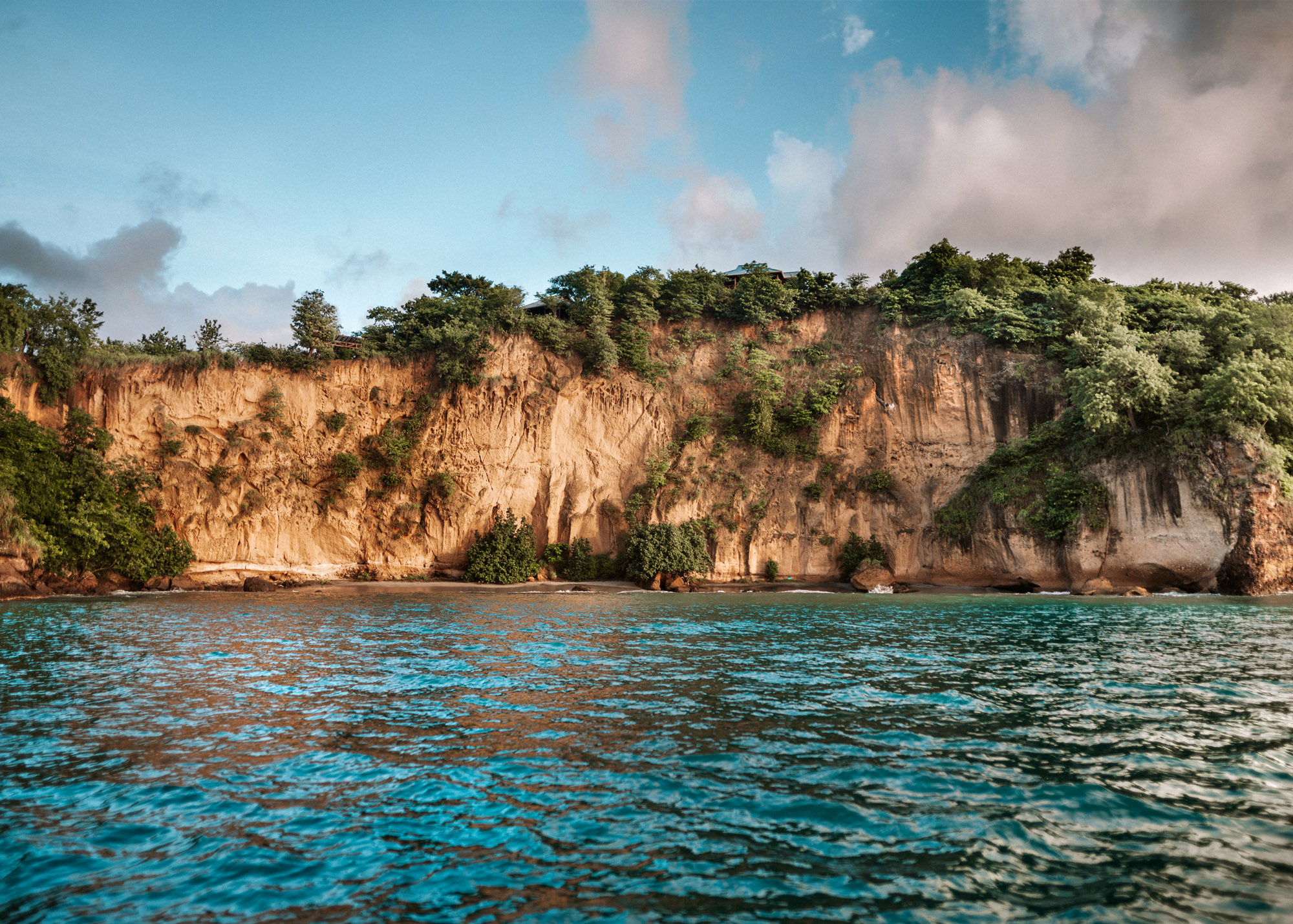
Grenada sits at the southern end of the Grenadines, where volcanic soils and a humid tropical climate support the cultivation of Myristica fragrans, the tree that produces nutmeg and mace. The country is currently the world's second-largest producer of nutmeg, with crops still processed at facilities such as the Gouyave Nutmeg Processing Station.
The interior landscape features Grand Etang National Park and Forest Reserve, surrounding a 36-acre crater lake formed by an extinct volcano. Rainforest trails cross steep volcanic terrain, including the Mount Qua Qua Trail and the six-kilometer Concord Trail, which climbs from Concord Waterfall to meet the Mount Qua Qua route along the ridge.
Grenada's volcanic geography also extends offshore. Kick-’em-Jenny, an active submarine volcano, lies about five miles north of the island. For those weighing up a Caribbean cruise, Grenada stands out for its spice-growing heritage, rainforest hiking, and position at the southern end of the Grenadines.
St. Lucia: Two Volcanic Peaks Rising From the Sea
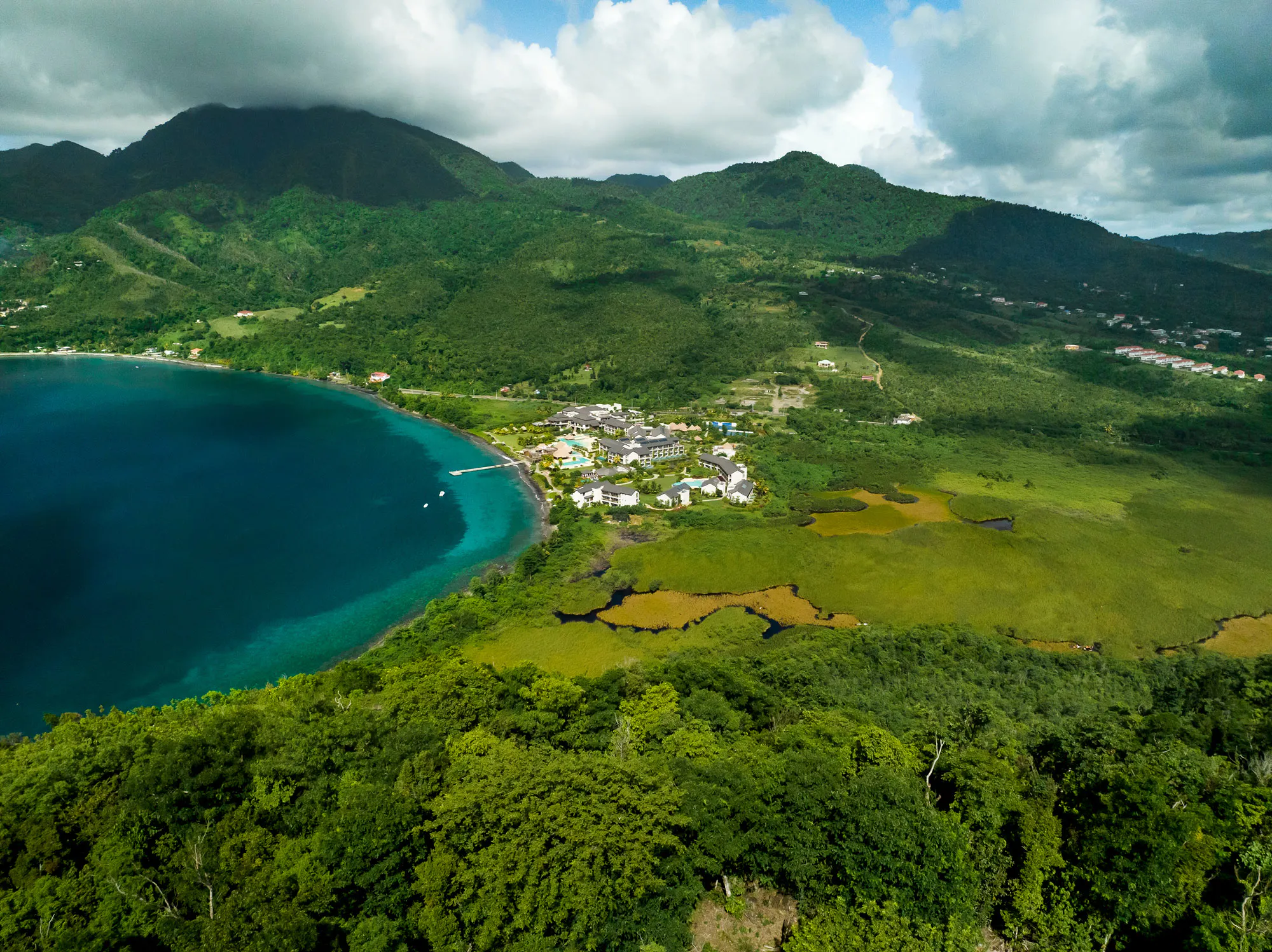
St. Lucia's southwestern coast features the Pitons, two volcanic spires within the UNESCO-listed Pitons Management Area. Gros Piton stands 2,619 feet (798 meters) above sea level, while Petit Piton reaches 2,438 feet (743 meters). The peaks are eroded remnants of lava domes within the wider Soufrière Volcanic Center, part of a landscape shaped by volcanic activity.
Climbing Gros Piton involves a roughly four-kilometer round-trip trail through steep volcanic terrain. The route begins in dry forest before passing into denser vegetation higher on the mountain, with rocky sections requiring careful footing. Higher sections of the trail open up views across the surrounding Caribbean coastline.
The volcanic landscape continues below sea level within the Pitons Management Area. Coral reefs cover almost 60% of its protected marine area, supporting species including hawksbill turtles alongside a diverse range of reef fish and corals.
Barbados: Coral Reefs Turn Its Beaches Pink
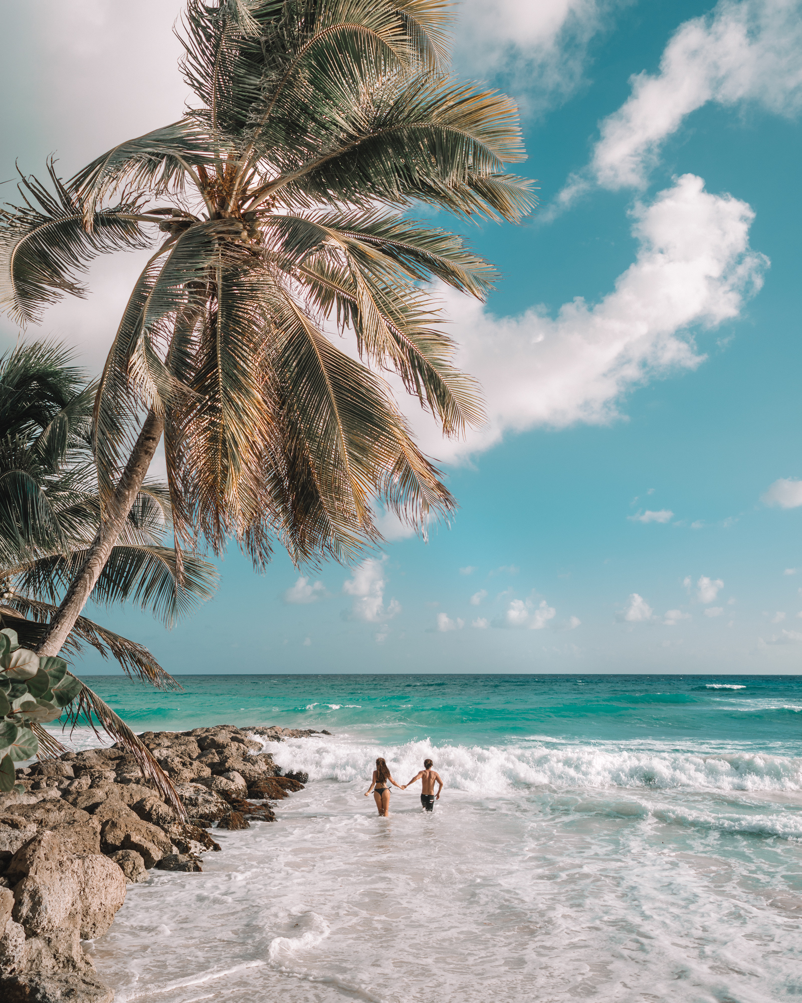
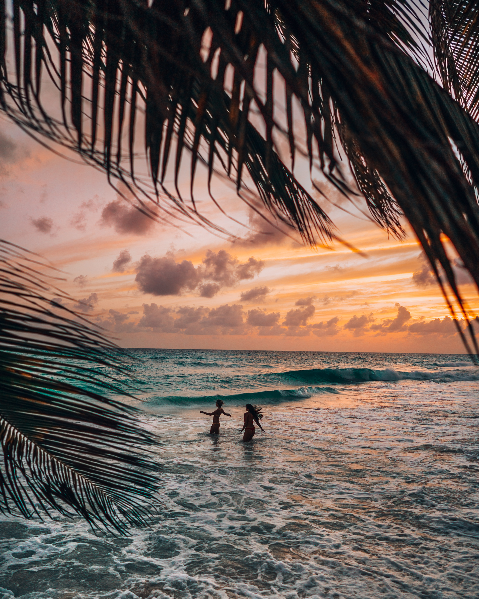
Unlike many of its volcanic Caribbean neighbors, Barbados formed on an accretionary prism, with much of the island now capped by coral limestone. The island sits east of the main Lesser Antilles arc, directly exposed to the swells of the open Atlantic Ocean. Its coral-limestone geology shapes much of the coastline, from elevated terraces to steep coastal cliffs.
At Crane Beach on the southeastern coast, the sand takes on a pale pink tint under direct sunlight. Cliffs back the beach, while its location on the Atlantic-facing coast exposes it to stronger waves than the calmer western shoreline.
Barbados is surrounded by fringing, bank, and patch reefs, with much of the reef development concentrated along the west and south coasts. Near Folkestone Marine Park, the SS Stavronikita lies in roughly 120 feet of water and has developed into an artificial reef supporting marine life.
Which of these islands would surprise you most?
Substituting one island for another can change the character of a trip, replacing one set of landscapes and conditions with another. A trek across Dominica's steaming volcanic valleys requires different physical preparation and gear than diving the limestone drop-offs of the Caicos Bank. Recognizing these geological differences makes it easier to match your skills and travel interests with the right destination.
Designing a Caribbean itinerary works best when each island is considered on its own terms. Trail access, water transfers, marine conditions, and other logistical details can all shape how a trip unfolds.
Focusing on specific landforms, trail profiles, and marine characteristics makes it easier to choose islands for what genuinely sets them apart.