Reaching some of the world’s most dramatic mountain viewpoints requires trading low-altitude comfort for high-altitude exertion and precise seasonal timing. For experienced trekkers, evaluating a trail comes down to terrain, clear sightlines, and physical demands. Alpine passes, volcanic ridges, and glaciated valleys present distinct challenges, from navigating scree slopes to managing the effects of altitude at high elevations.
Choosing the right route involves balancing daily elevation gain with unpredictable weather windows that can obscure broad valley views within minutes. Visual rewards depend heavily on atmospheric clarity and the time of day you reach the summit or col.
Here are five trekking routes across the globe where specific topography creates exceptional viewpoints.
Gokyo Ri: The Quieter Way to See Everest
Standing at 17,575 feet (5,357 meters) above sea level, Gokyo Ri rises above the Gokyo Valley in Nepal's Sagarmatha National Park. The summit provides views of four separate 8,000-meter peaks: Mount Everest, Lhotse, Makalu, and Cho Oyu. The approach to Gokyo follows the terminal moraine of the Ngozumpa Glacier, which stretches for roughly 22 miles (36 kilometers) and is the longest in Nepal. From Gokyo village, the route climbs roughly 1,900 vertical feet to the summit, with views extending across the surrounding glacial lakes and high Himalayan peaks.
The trail up Gokyo Ri consists of loose scree and switchbacks that test endurance in thin air. An early ascent can improve the chances of clear mountain views before conditions change later in the day. The summit marker features prayer flags around an exposed stone outcrop overlooking the third Gokyo Lake, Dudh Pokhari. Careful acclimatization is important at this elevation, particularly if you're planning on trekking in Nepal on a route that remains above 4,000 meters for several days.
Vinicunca: A Mountain That Looks Hand-Painted
Vinicunca, also known as Rainbow Mountain, rises to around 17,100 feet (5,200 meters) in the Vilcanota Range of the Peruvian Andes. Its bands of red, green, yellow, and other colors come from mineral-rich sedimentary layers exposed through geological uplift and weathering. The more accessible Cusipata route begins near the community of Chillihuani, with roughly 3 kilometers (1.9 miles) of walking each way through high-altitude terrain exposed to strong winds.
Physical strain on Vinicunca stems largely from the extreme elevation, with even moderate inclines becoming demanding above 5,000 meters. From the upper viewpoint, trekkers can also see Ausangate, which rises to around 20,945 feet (6,384 meters) nearby. The exposed terrain gives photographers clear views of the mountain’s mineral bands when cloud and snow conditions allow. Windproof outer layers and insulation are useful year-round, as weather at this elevation can change quickly.
Torres del Paine: Four Days Beneath Patagonia's Granite Spires
The W Trek in Chile's Torres del Paine National Park covers roughly 43 miles (70 kilometers) through valleys shaped by glaciers and the granite peaks of the Paine Massif. The route connects three primary highlights: the Las Torres granite towers, the French Valley, and Gray Glacier. Strong Patagonian winds can make exposed sections more demanding, while weather conditions can change quickly. Terrain varies from lenga forest tracks to boulder-strewn moraines and rocky slopes.
The eastern arm climbs through the Ascencio Valley before a steep final ascent across rocky moraine to the Base Torres viewpoint. From the glacial lake below, the three granite towers rise sharply above the surrounding terrain. Early starts can also give photographers a chance to catch the first light on the towers when conditions are clear. Confirmed refugio or campsite reservations are mandatory for those hiking Patagonia's W trek route and staying overnight in the park's mountain areas.
Tongariro: A Single Day Across an Active Volcano
Located on the North Island of New Zealand, the Tongariro Alpine Crossing stretches 12.6 miles (20.2 kilometers) point-to-point across an active volcanic landscape. The trail crosses the Mangatepōpō Valley before ascending toward South Crater, with a climb of around 1,150 vertical feet (350 meters) over exposed volcanic terrain. The route peaks at Red Crater, sitting at 6,188 feet (1,886 meters) above sea level.
From the Red Crater, the path descends a loose scree slope toward the Emerald Lakes, three vividly coloured crater lakes shaped by the area's volcanic geology. Trekkers encounter sharp terrain contrasts, moving from stark volcanic landscapes near Mount Ngāuruhoe to tussock alpine vegetation on the northern slopes. Weather conditions can change rapidly, and winter conditions bring snow, ice, and avalanche risk that require alpine skills and equipment. Because the crossing is point-to-point and parking is restricted, most trekkers use shuttle transport. It’s also worth checking current access and parking arrangements before setting out.
The Dolomites: A High Route Through Limestone Spires
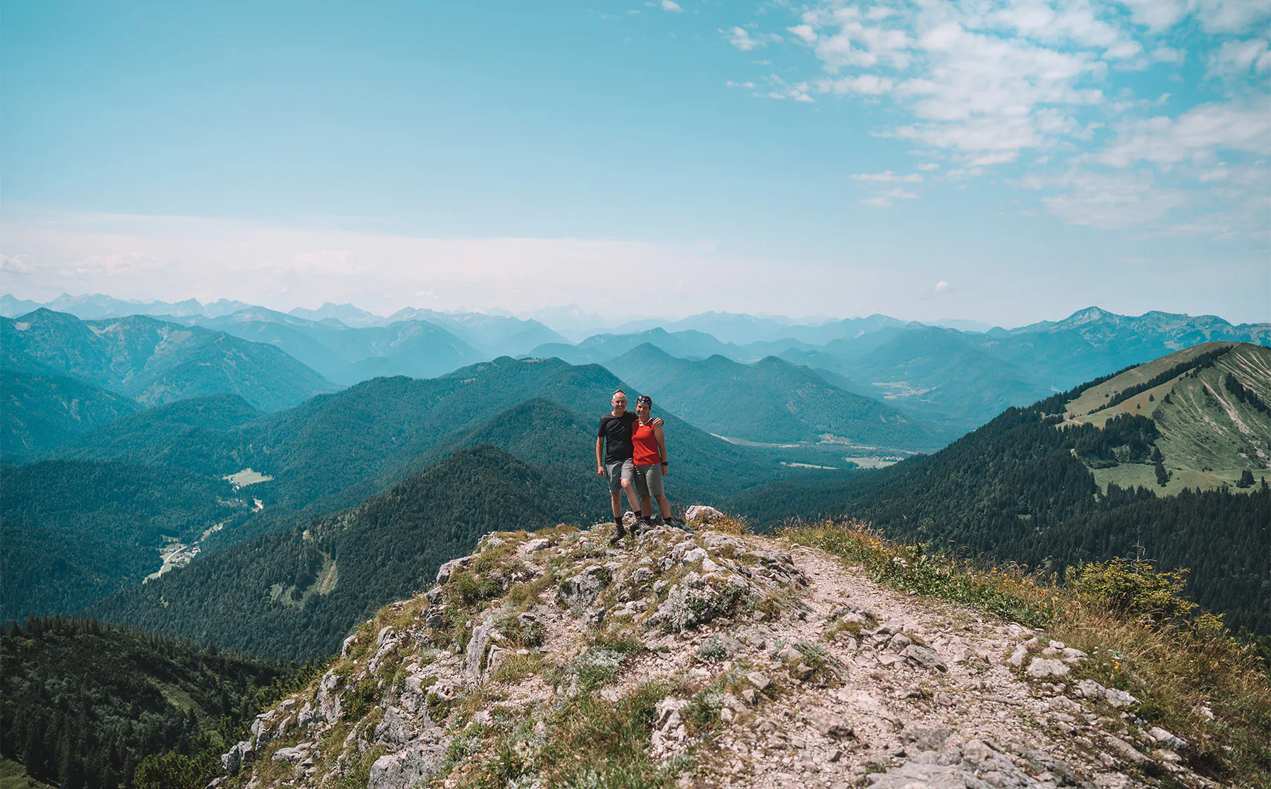
Northern Italy's Alta Via 1 spans around 80 miles (130 kilometers) through the Dolomites, running from Lago di Braies in the north to Belluno in the south. Much of the route stays at elevations between roughly 6,500 and 9,000 feet, threading past pale limestone spires, vertical rock walls, and alpine meadows. High passes such as Forcella del Lago present steep switchbacks cut into scree, leading into narrow rock gaps that open onto broad plateau views.
The route passes beneath famous geological formations, including the Lagazuoi massif, Pelmo, and Civetta. The view from Rifugio Lagazuoi captures the Tofana group and surrounding peaks illuminated by the evening light. At sunrise and sunset, the pale Dolomite rock can turn pink and red during a local alpenglow phenomenon known as enrosadira. Trekkers stay in mountain huts (rifugi) positioned along the route, reducing the amount of camping equipment they need to carry. A later stage includes a protected via ferrata section requiring appropriate equipment, although an alternative route allows trekkers to avoid it.
Which of these views could you actually reach?
Selecting a high-altitude trekking route comes down to evaluating your current fitness, technical skill, and seasonal availability against real mountain conditions. A successful trek depends on honest self-assessment regarding elevation tolerance and cold-weather endurance. Navigating the thin air above the Dudh Koshi Valley or managing foot placement on steep Patagonian moraines both require physical preparation before setting out.
Logistical readiness carries equal weight when planning trips to protected wilderness areas. Securing park permits, organizing shuttle transfers, and arranging hut reservations in advance can help prevent last-minute route changes. Matching your physical capacity with careful trip planning makes these demanding routes more manageable. Each of these five trails rewards the effort with viewpoints shaped by altitude, geology, and terrain.